Durango is surrounded by hundreds of miles of trails. There are trails that are easy to access from town, trailheads to drive to, and even trails that can only be accessed by train. Hiking, biking, and horseback riding in designated trails are all a great way to experience these trails in Durango and our area’s surrounding beauty.
In-Town Trails
Animas Mountain Trail is one of the most scenic viewpoints you can access from multiple in-town trailheads. Either from W 4th Avenue & 32nd Street or Junction Creek, you can hike just a few miles to the viewpoint to see north into the Animas Valley or south overlooking the city.
Overend Mountain Park Trail System offers many different trails and loops that are fun on a mountain bike or on foot. Access is easy from Avenida Del Sol, Ella Vita Court, Leyden Street, Montview Parkway, or Arroyo Drive. You can summit Hogsback and Perins Peak, iconic Durango landmarks, from these trails, although the climb can be tricky!
The Animas River Trail is a paved path that winds through town along the Animas River for just over 9 miles. Although fairly easy, there are some hills throughout the seven miles accompanied by bridges, underpasses, and great views. You can access fishing spots, boat put-ins and take-outs, as well as many restaurants, cafes, and more local establishments from this trail.
Nearby Trails
Church Camp is located just south of Falls Creek providing easy and scenic trails. With multiple parking spots off of Junction Creek / CR 205, you can take in the surrounding area and even find the little waterfall.
Haflin Creek Trail is a steep ascent up the west side of Missionary Ridge. The trailhead is just a few miles north of town on CR 250. The switchbacks lead 3,000 feet in elevation up through red rocks and the remains of the 2002 Missionary Ridge Fire, but offer an unbeatable view of the valley below.
Farther North
Engineer Mountain, Castle Rock, and Spud Lake are all mid to high country hikes that will fully immerse you in Colorado beauty. These backcountry trails each offers a different difficulty level, length, and views, you can enjoy these via bike, horseback, or your trusty hiking boots.
The Colorado Trail is a through trail from Denver, CO to Durango, CO that spans 567 miles in total. Junction Creek, an in-town trailhead is the start/finish point with numerous access points to the north. These include Hermosa Creek and Molas Pass on the way to Silverton, CO and many more nearby hiking trails.
Trail Savvy
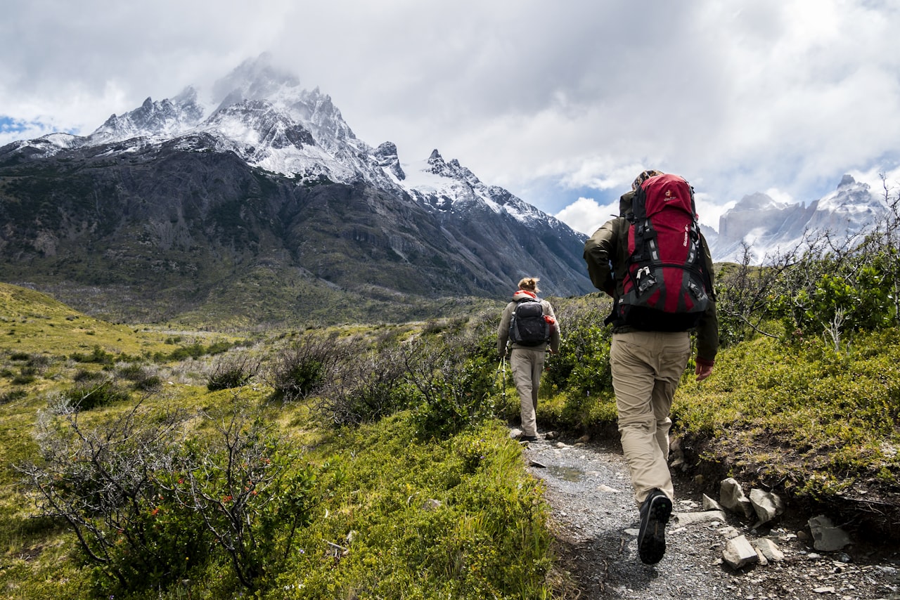
Hiking in Colorado can test your limits with elevation gain, thin air, and unpredictable weather. Knowing how to be safe in the backcountry is imperative including packing the right supplies, being weather aware, and letting someone know where you’re going exploring. Familiarize yourself with trail etiquette like yielding to other users, checking trail conditions, and leaving no trace.
No matter your skill level, the Durango area has trails for all and will complete your time in Southwest Colorado with breathtaking views and experiences. Learn more about these - and many other - trails in publications like the Hiking Trails of Southwestern Colorado, Fifth Edition book, online resources provided by Durango Trails, and don’t forget to pack a trail map such as the National Geographic Map 144: Durango and Cortez Let us help you make this wonderful area your home! Please let us know if you have any questions about hiking trails in Durango, Colorado or other area amenities.